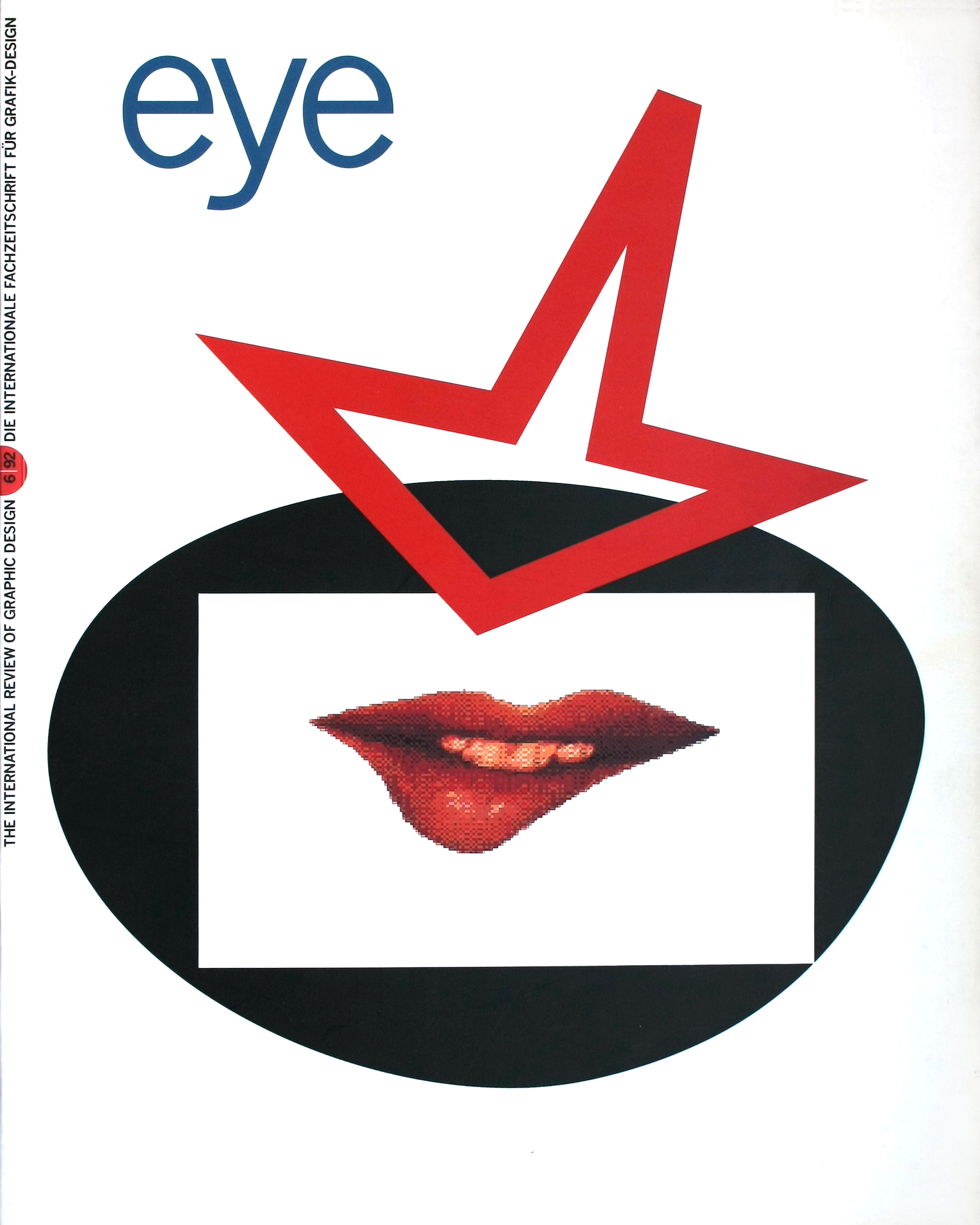
Spring 1992
Pictorial Maps
Pictorial Maps
Nigel Holmes, Herbert Press, £25Richard Saul Wurman, publisher of the Access city guides and information design guru, does not much care for USA Today’s weathermap. It may be packed with fact and figures, he says, but it tells us nothing useful about ‘comparative comfort’. Perhaps not, but compared to some of the more baroque feats of cartography in Pictorial Maps (The Herbert Press, £25) by Time magazine executive art director Nigel Holmes, it looks like a model of functional clarity. Holmes’s book is aimed at map-makers, with the standard how-to chapter, and the text is chattily informative rather than penetratingly critical, but it is so richly illustrated that it deserves a wider audience. Some of the maps are so bad (see the tacos that ate America) they were probably best forgotten and one suspects Edward ‘chartjunk’ Tufte would not be amused. But there are also some kitsch treasures – the United States as a composite of tacky picture postcards; Jo Mora’s quirkily annotated maps of California and the Grand Canyon (‘Aint it just too natcherel’) – as well as old favourites such as the New Yorker view from Saul Steinberg’s window.
First published in Eye no. 6 vol. 2, 1992
Eye is the world’s most beautiful and collectable graphic design journal, published for professional designers, students and anyone interested in critical, informed writing about graphic design and visual culture. It is available from all good design bookshops and online at the Eye shop, where you can buy subscriptions and single issues.

